Monday, 25 May 2026
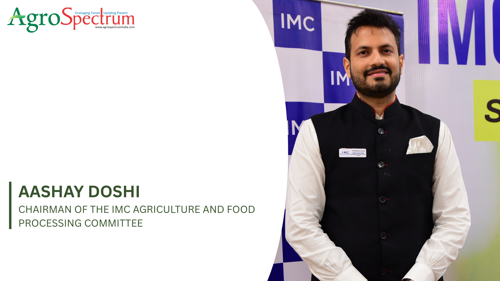
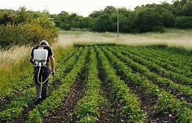
In an exclusive Agrospectrum interview, Aashay Doshi highlights how global geopolitics and supply chain shocks are pushing input costs higher, exposing India’s vulnerability in food production systems Global geopolitics, climate…
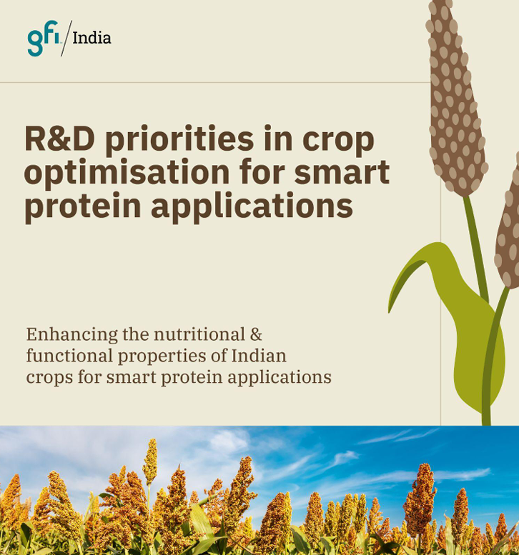
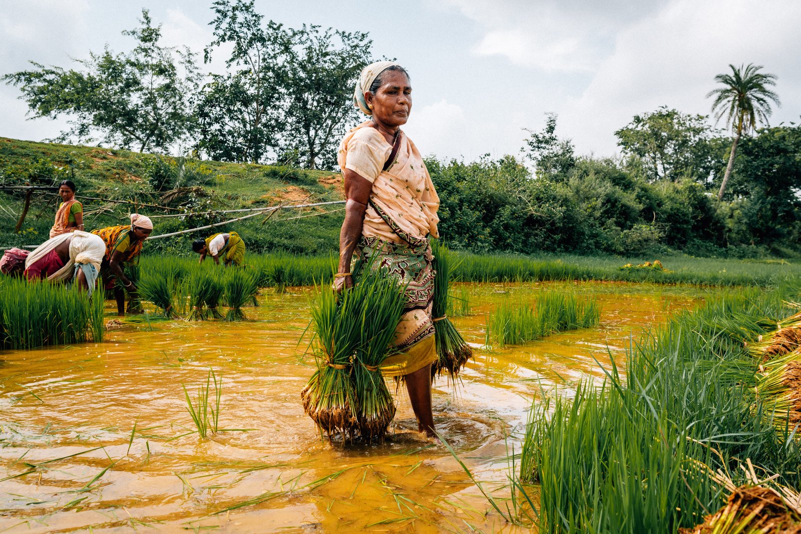
Unlocking India’s indigenous “orphan crops” could be key to boosting nutrition security and building a resilient, climate-smart plant protein economy As India pushes for crop diversification to achieve nutritional security…
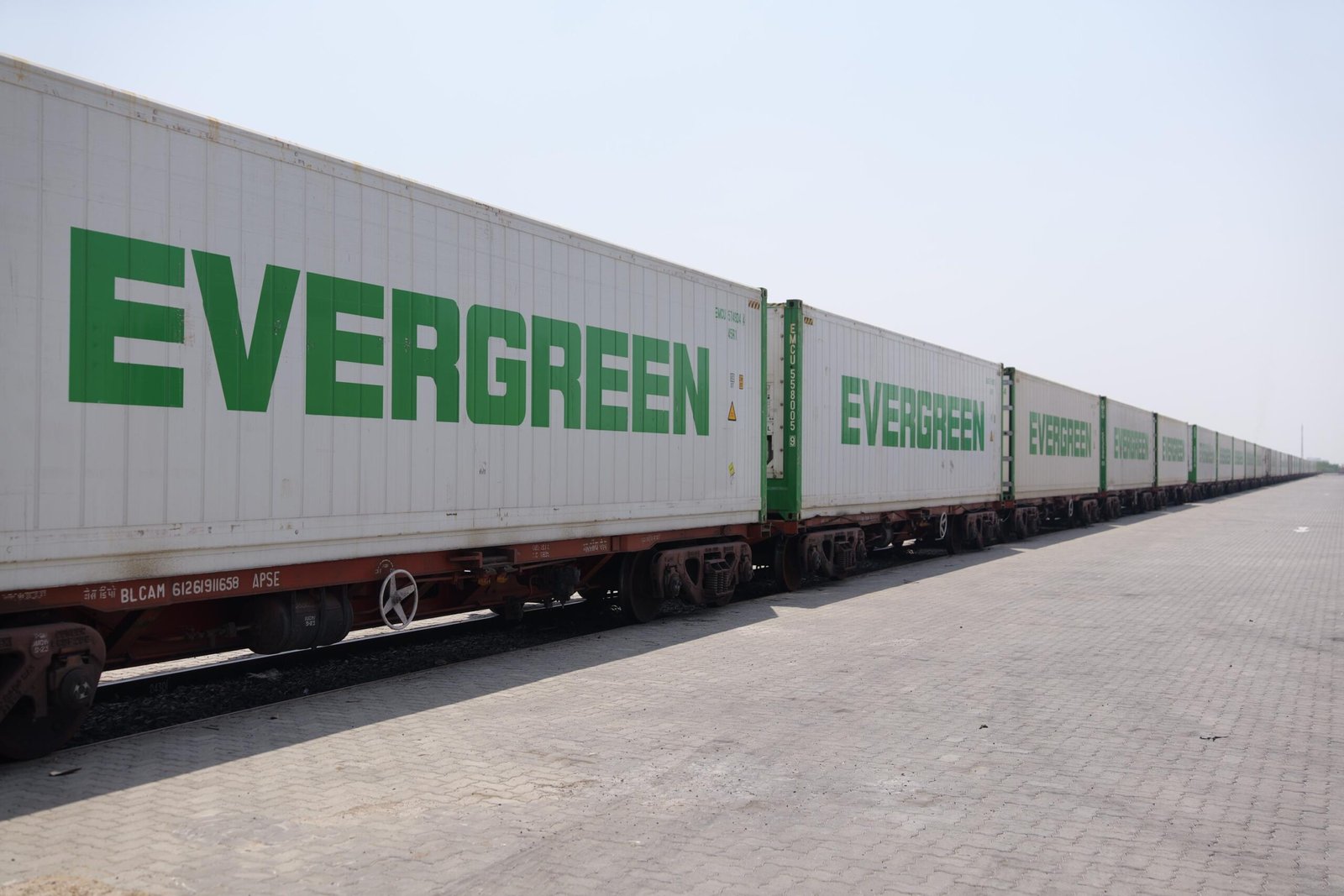
This first ever dedicated Reefer Rail for HyFun’s frozen potato products is replacing up to 40 road trips per shipment, enhancing supply chain efficiency, reducing fuel consumption and lowering carbon…
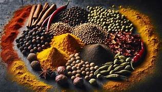
New preventive framework seeks to safeguard India’s spice exports ahead of stringent European Union regulations on mineral oil contaminants set to take effect from January 2027 In a decisive move…

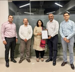
Partnership aims to combine farm-level digitisation with Japanese craftsmanship to expand India’s premium gelato and dairy product ecosystem mooMark Pvt Ltd, a wholly owned subsidiary of Stellapps Technologies, has entered…

Unlocking India’s indigenous “orphan crops” could be key to boosting nutrition security and building a resilient, climate-smart plant protein economy As India pushes for crop diversification to achieve nutritional security…
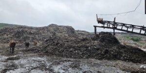
Joint studies by University of Leeds, IIT Kharagpur and global research partners warn of escalating urban waste and agricultural pollution challenges as India pushes toward its 2070 decarbonisation target Researchers…
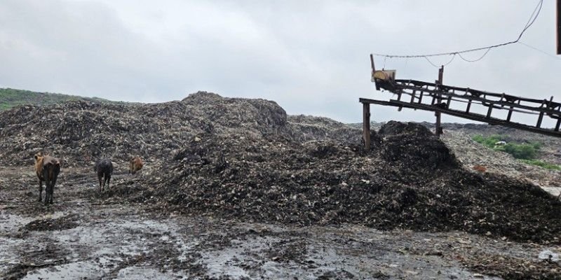
Joint studies by University of Leeds, IIT Kharagpur and global research partners warn of escalating urban waste and agricultural pollution challenges as India pushes toward its 2070 decarbonisation target Researchers…
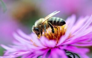
World Bee Day initiative seeks to raise awareness around the critical role of bees and pollinators in food security, biodiversity conservation and climate resilience amid mounting ecological threats Agri-ecosystem and…
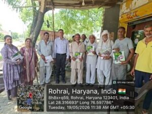
Under the Abhiyan, a total of 12,979 awareness camps and seminars have been conducted so far Indian Council of Agricultural Research under the Department of Agriculture Research and Education has…
The commercial collaboration aims to create scalable crop systems that nourish plants, strengthen soil health and improve resource efficiency simultaneously BioPrime AgriSolutions a pioneer in the biological crop solutions powered…
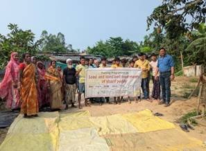
ICAR is conducting programmes across multiple states to educate farmers, students and agricultural stakeholders on soil test-based nutrient management and eco-friendly farming practices In line with the Government of India’s…

FAO outlines urgent measures and policy recommendations to avert severe crisis within six to 12 months The closure of the Strait of Hormuz is not a temporary shipping disruption but…
All 649 customs ports digitally integrated via ICEGATE–PQMS linkage to speed up agri imports In a sweeping push to streamline agricultural governance and reduce compliance burdens across the value chain,…