Tuesday, 26 May 2026

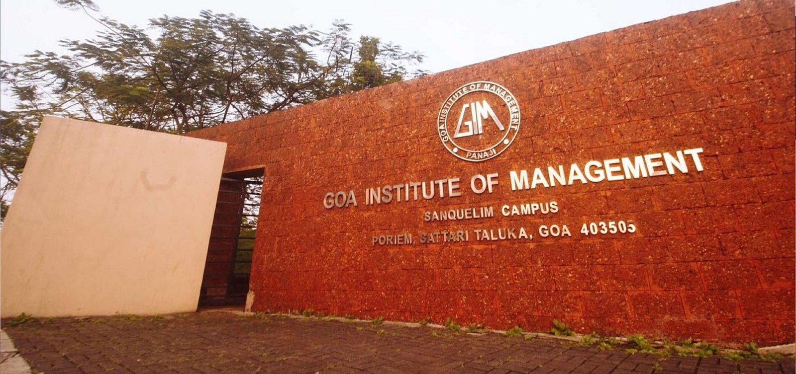
A research team led by Goa Institute of Management (GIM) has developed a framework that uses satellite images and causal econometric methods to evaluate the effectiveness of public policies in situations where traditional survey data is unavailable. This approach presents a first-of-its-kind method that could reshape how government bodies and institutions assess development interventions.
Conducted by Prof. Muddasir Ahmad Akhoon, Assistant Professor, General Management & Public Policy, in collaboration with Dr. Abhishek Shaw from Azim Premji University and Dr. Vidya Vemireddy from IIM Ahmedabad, the findings of this study have been published in the prestigious Journal of Agricultural Economics.
In many developing countries, governments roll out large-scale agricultural initiatives without collecting baseline data before implementation. While these interventions intend to improve productivity and livelihoods, the absence of pre-programme information often results in mis-evaluation of the expected outcomes.
Launched in 2018, the Telangana government’s Rythu Bandhu scheme for landowning farmers faced a similar challenge. The initiative initially provided Rs. 4,000 per acre per cropping season to agricultural landowners, which was later revised to Rs. 5,000. By 2021–22, the scheme accounted for nearly 55 per cent of Telangana’s total agriculture budget. Despite the scale of investment, the lack of pre-implementation survey data created a gap in understanding whether the programme was able to deliver the intended outcomes.
To address this challenge, the research team developed a framework that combines highly granular satellite-based agricultural images with a quasi-experimental evaluation design. This model focused on analysing satellite images of regions located within a narrow 10-kilometre strip on either side of Telangana’s state border. These regions were chosen because they closely resemble one another in environmental and agricultural characteristics while differing in exposure to the policy intervention.
Speaking about the research, Prof. Muddasir Ahmad Akhoon said, “One of the biggest challenges faced by developing countries is that policies implemented to achieve various development outcomes often remain unevaluated for long periods, simply due to the non-availability of ground-level survey data, particularly pre-implementation baseline data. This study demonstrates that satellite data can fill that gap rigorously and at scale. Our hope is that this methodology becomes a standard tool for governments and public policy professionals seeking credible evidence on what works for policy beneficiaries, even when traditional data systems fall short.”
The research team used satellite images to monitor around 100,000 randomly selected agricultural locations over time. This detailed approach helped in capturing differences at the local level that are often missed in broader district-level studies, allowing the team to measure the policy’s impact more accurately.
As a result, the research team found that –
Cash transfers increased agricultural productivity in Telangana during the major monsoon (kharif) season by approximately 1.47–2.05 per cent relative to comparable regions in neighbouring states that did not receive similar support.
Rice, wheat and maize recorded measurable productivity improvements during the kharif season.
Since rainfed farming systems are generally more vulnerable to weather uncertainty and resource constraints, the results suggest that direct cash support may be particularly valuable in strengthening resilience among more vulnerable farming communities.
Speaking about the developed framework, Dr. Abhishek Shaw said, “To ensure our results were reliable, we tested the framework using different satellite systems, multiple data samples, alternative border designs and historical data. The results remained consistent throughout. We also found that before the Rythu Bandhu scheme began, Telangana’s productivity was lower than neighbouring regions, which gives us greater confidence that the improvements observed were due to the programme itself.”
The study can be widely used to evaluate the on-ground impact of different agricultural policies, even when conventional survey datasets are unavailable. By combining satellite data with causal policy evaluation techniques, the framework is capable of creating a practical alternative for governments and researchers working in data-constrained environments.
Speaking about the broader applications of the study, Dr. Vidya Vemireddy said, “The framework can support the evaluation of programmes such as PM-KISAN and state-level initiatives across India’s varied agro-climatic settings. It can also be adapted for assessing infrastructure projects, environmental policies, natural resource management programmes and social interventions in regions where timely data collection is difficult.”
With satellite coverage now extending across the globe, the developed framework could become valuable in situations requiring rapid evidence generation, including disaster-affected regions, humanitarian settings and conflict zones.
As governments in developing countries, including India, increasingly make large-scale policy interventions in complex and rapidly changing environments, access to timely and reliable evidence becomes essential. With the developed approach, the research team led by GIM has demonstrated how faster policy evaluation can be conducted to further design or modify existing and new interventions that are more targeted, effective and impactful for communities.