Monday, 15 June 2026
A new satellite-powered digital platform aims to transform how governments and global institutions monitor one of the world’s most critical food staples.
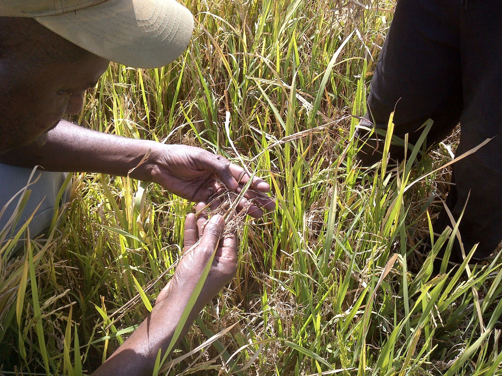
CRISP — Consistent Rice Information for Sustainable Policy — is the first global digital mapping platform dedicated exclusively to rice production. Developed by a consortium led by sarmap in partnership with CGI and the International Rice Research Institute, the system leverages Earth Observation data to deliver timely, spatially detailed production intelligence across rice-growing regions worldwide.
With rice feeding more than half of the global population, climate volatility poses mounting risks to both food security and farmer livelihoods. Traditional production data often arrives months after harvest and lacks the geographic precision required to respond to droughts, floods, and extreme weather events.
CRISP seeks to close that gap.
From Static Reports to Dynamic Monitoring
Funded by the European Space Agency and hosted on Insula — a cloud-native geospatial platform developed by CGI — CRISP marks a shift from static reporting toward real-time, user-driven analysis.
The platform processes multi-temporal data from the Sentinel-1 and Sentinel-2 satellite missions to generate seasonal rice maps at scale. It integrates modules for: Satellite data processing, rice area mapping, yield modeling, data visualization.
The goal: provide governments, development banks, insurers, and agribusinesses with consistent, timely, and actionable production intelligence.
Built on a Proven Foundation
CRISP builds on more than a decade of operational experience from RIICE (Remote sensing-based Information and Insurance for Crops in Emerging Economies), a rice monitoring service developed by sarmap and IRRI and initially co-financed by the Swiss Agency for Development and Cooperation.
Over 12 years, RIICE was deployed across South and Southeast Asia, Africa, and South America — laying the technical and institutional groundwork for CRISP’s global expansion.
Tested Across Climate-Stressed Regions
During its first phase, CRISP was validated across diverse agro-ecological zones, including: Andhra Pradesh, India; Luzon, Philippines; Senegal River Valley, Senegal; Kano State, Nigeria; Mwea Irrigation Scheme, Kenya
The system demonstrated strong operational reliability:
87 per cent average overall mapping accuracy for rice area
Above 90 per cent accuracy in structured irrigation systems
As high as 94.2 per cent accuracy in Srikakulam, India
Yield estimation errors as low as 0.10–0.11 tons per hectare in controlled irrigation environments
In more variable rainfed ecosystems, the platform effectively captured drought-driven yield fluctuations — strengthening its potential use in index-based insurance schemes and climate risk policy planning.
Scaling Toward Full Operational Status
“The next phase will involve the transition from a demonstration to full operational status,” said Giaime Origgi, Project Manager and Engineer at sarmap.
The platform will soon be accessible through ESA’s Network of Resources (NoR), enabling national agencies, development organizations, and authorized users to independently generate monitoring products or request analyses for specific regions.
Importantly, generated data will be made publicly available — reinforcing transparency and policy alignment.
Why It Matters for Global Food Security
Rice accounts for roughly 20 per cent of global caloric intake. Yet climate change is intensifying production volatility across Asia and Africa, where smallholder farmers dominate supply.
For policymakers, insurers, and commodity markets, delayed or inconsistent production data increases exposure to: Food price shocks, supply chain disruptions, insurance mispricing, emergency response delays
By converting complex satellite data into accessible, decision-ready intelligence, CRISP positions Earth Observation as a frontline tool in global food system resilience.
As climate risk accelerates, the ability to monitor staple crop production in near real time may become not just a technical advantage — but a strategic necessity.