Thursday, 25 June 2026
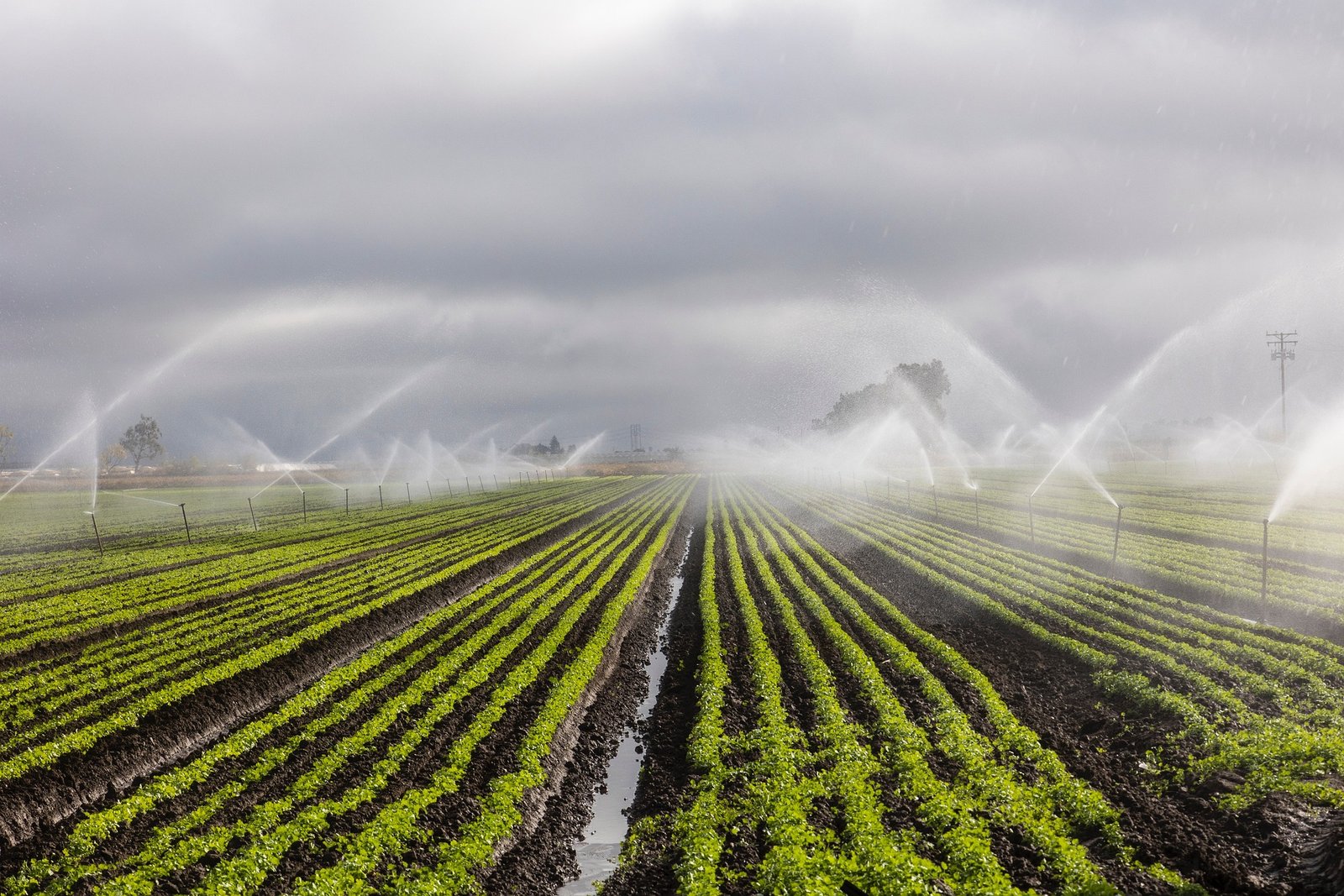
Image Source: Mongabay India
In a breakthrough effort to address India’s escalating groundwater crisis, researchers from the Indian Institute of Technology Bombay (IIT Bombay) and the Indian Institute of Tropical Meteorology (IITM Pune) have unveiled a cutting-edge irrigation planning model that could help farmers reduce water usage by 10 to 30 per cent—without sacrificing crop yield.
By fusing extended-range weather forecasts, satellite-derived soil moisture data, and crop-specific simulations, the model delivers precise irrigation recommendations for farmers in water-stressed regions. First tested in Maharashtra’s grape-growing Nashik region and later scaled to 12 sub-districts in drought-prone Bankura, West Bengal, the model is capable of forecasting crop water requirements up to three weeks in advance at both district and sub-district levels.
The initiative, led by Prof. Subimal Ghosh of the Department of Civil Engineering and Centre for Climate Studies at IIT Bombay, reimagines how farmers manage irrigation amid erratic rainfall and shrinking groundwater reserves. “Just as financial planning helps us stretch a limited budget, smart irrigation planning enables farmers to ‘spend’ water more wisely,” noted Prof. Ghosh. “By integrating rainfall forecasts with soil moisture profiles, we can avoid unnecessary irrigation and better preserve precious groundwater.”
In Nashik, the team found that grape farmers often relied solely on soil moisture sensors. But when rainfall occurred after irrigation, water was wasted. Incorporating short-term rainfall forecasts into their decision-making helped these farmers conserve up to 30 per cent more water while maintaining healthy yields. The model considers multiple factors—including crop root zone depth, soil texture, porosity, water-holding capacity, and plant stress responses like stomatal closure—to optimize water usage at the field level.
The extended study in Bankura focused on five key crops—maize, wheat, sunflower, groundnut, and sugarcane—chosen for their diversity in growth patterns and water needs. The team’s simulation model, validated with real-time meteorological and agronomic data, revealed that water savings could be consistently achieved across this varied cropping landscape using generalized ecohydrological equations that do not rely on crop-specific tuning.
“Our goal was to develop a scalable, farmer-friendly advisory tool,” said Prof. Ghosh. “One that can be calibrated for any region, crop, or rainfall pattern with only a modest number of sensors and publicly available data inputs.”
To scale up adoption, the researchers plan to partner with local communities and governments to install sensors and develop a user-friendly advisory system. “We’re in discussions to expand this approach to more districts, using village-level engagements to build farmer trust and showcase the model’s on-ground benefits,” he added.
The project is supported by the Department of Environment, Government of West Bengal, the DST-Swarnajayanti Fellowship Scheme, SPLICE (Strategic Programs, Large Initiatives and Coordinated Action Enabler), the Climate Change Program (CCP), and Oracle’s Corporate Social Responsibility Fund.
By offering a new way to integrate weather forecasting, remote sensing, and decision-support tools, the IIT model provides a compelling roadmap for climate-resilient agriculture—especially critical as India prepares for a future of increasingly volatile rainfall patterns and rising water stress.