Thursday, 16 April 2026
Enhanced inspections and documentation norms could reshape export supply chains India’s agricultural export sector is entering a more stringent regulatory phase as the Agricultural and Processed Food Products Export Development…

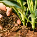
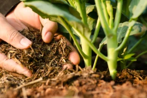
Bridging the gap between farm-level data and post-harvest operations, real-time intelligence is emerging as the key to building predictive, efficient, and resilient agricultural supply chains Over the past few years,…
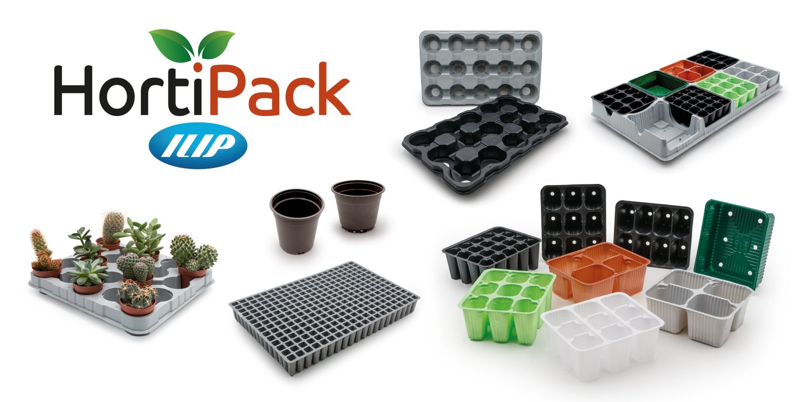
From advanced R-PET packaging for delicate fruit to tailored product development and horticultural solutions, ILIP reinforces its leadership across the fresh produce ecosystem ILIP will take center stage at Macfrut…
The Hyderabad rollout represents the first major geographic expansion following ASMS’ investment and underscores the platform’s readiness for multi-city execution. Avio Smart Market Stack Limited (“ASMS”) has announced the expansion…

India is staring at a potentially softer monsoon in 2026, an early signal that could ripple across farm output, rural demand, and food inflation in the months ahead. The India…
India’s fertiliser sector is central to food security, farmer livelihoods, fiscal stability, and industrial growth. Yet, despite its strategic importance, it remains one of the most tightly regulated and policy-constrained…

Partnership brings Agri AI, factory intelligence and energy optimization into focus for one of India’s key growth sectors Findability Sciences has partnered with Sugar, Ethanol & Bioenergy India Conference 2026…
Aims to reduce soil-borne diseases while improving seed vigour and seed emergence HyFarm, the agribusiness unit of HyFun Foods and a leader in India’s potato seed multiplication and processing value…

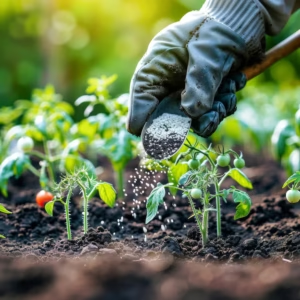
New solution integrates with irrigation systems for efficient large-scale application Vive Crop Protection has announced the launch of Bifender SM, a soil-applied insecticide designed to give growers greater flexibility in…

Photo Credit: Michelangelo Pignani/FFI In an exclusive AgroSpectrum interview, Dr. Amelia Wenger warns that global conservation efforts risk falling short as sewage pollution remains critically underfunded and poorly integrated into…
India’s fertiliser sector is central to food security, farmer livelihoods, fiscal stability, and industrial growth. Yet, despite its strategic importance, it remains one of the most tightly regulated and policy-constrained…

Heranba Industries Limited strengthens its growth strategy with the launch of Fentaamine and MycoHil, aiming to scale global presence and tap into the fast-growing crop nutrition market Heranba Industries Limited…

Uttar Pradesh’s clampdown on fertiliser “tagging” aims to restore farmer choice and transparency, but raises deeper questions about pricing distortions, supply chain discipline, and the future of balanced nutrient use…
Move aims to ensure affordable access to key fertilizers amid volatile global input prices The Union Cabinet, chaired by Prime Minister Narendra Modi, has approved the Nutrient-Based Subsidy (NBS) rates…