Wednesday, 15 July 2026
The goal is to establish a single and trustworthy source of data on crop cultivation
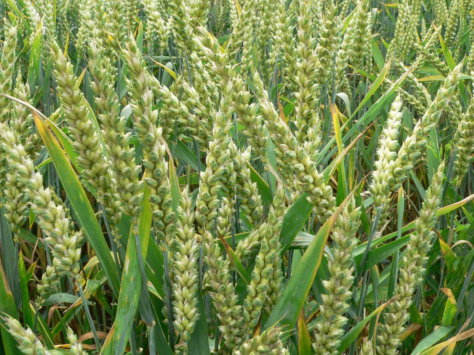
The Indian government has introduced a Digital Crop Survey (DCS) pilot project in 12 states during this year’s Kharif season. The goal is to establish a single and trustworthy source of data on crop cultivation. The DCS reference application is an open-source, inter-operable public good, and cadastral maps with GIS and GPS technologies ensure accurate farmland positioning. States were chosen based on their readiness for DCS, including geo-referencing of village maps and digitised Record of Right (RoR) with ownership extent.
The project aims to create reliable data on crop sowing, which is useful for accurate crop area estimation and the development of farmers’ centric solutions. The project is significant as India faces wheat and rice shortages despite record production estimates. The Minister of Agriculture and Farmers’ Welfare also acknowledged climate change’s impact on crop yields, particularly for rainfed rice, wheat, kharif maize, and mustard.
The ICAR’s National Innovations in Climate Resilient Agriculture (NICRA) network project projected a 20-47 per cent reduction in crop yield by 2050-2080 for rain-fed rice. Similarly, the projected reduction in crop yield could be 19.3-40 per cent for wheat and 18-23 per cent for kharif maize. Mustard’s crop yield is expected to decrease by 7.9-15 per cent.
ICAR has identified 109 districts as very high risk and 201 districts as high risk under its NICRA network project. The Minister also provided data on the availability of certified/quality seeds, which was 514.26 lakh quintals, exceeding the requirement of 464.14 lakh quintals for 2022-23.